Atipik perfectly understood the technical specifics of the field and skillfully integrated them into the final product with great ergonomics.
Axel Chollet
Business Manager · SIG
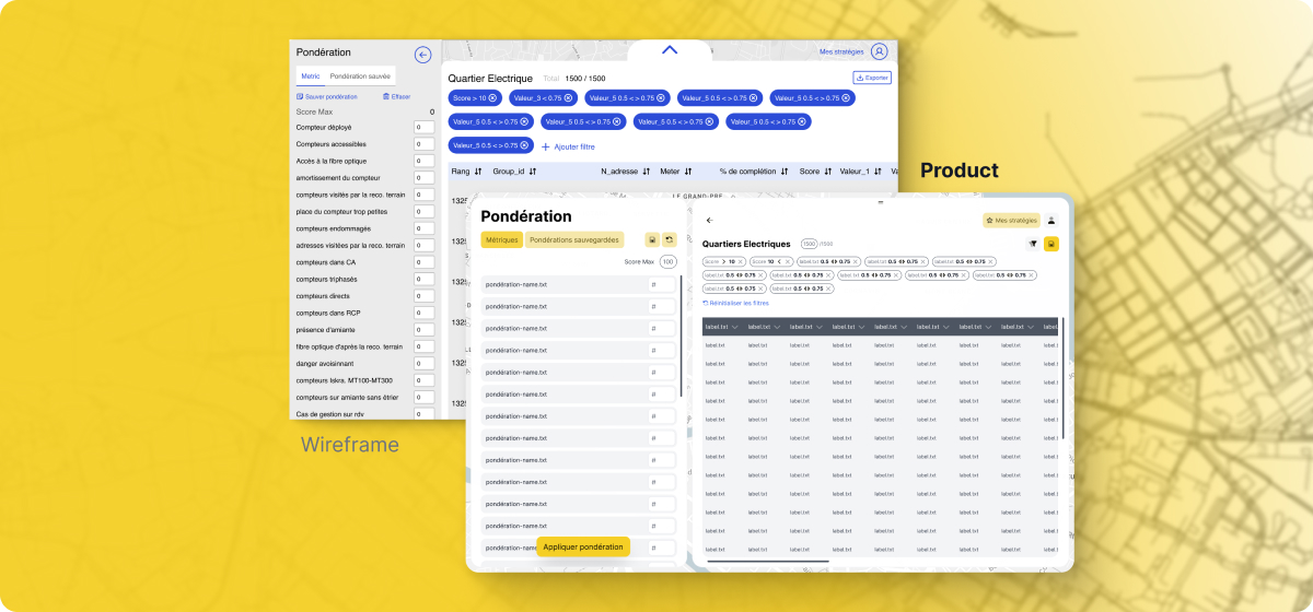
Wireframes were built hand-in-hand with the end user.
The wireframes emerged from initial discussions with the end user. These exchanges allowed us to capture their specific needs for a tailored solution. The complexity lay in the multitude of parameters to be integrated, and together, we envisioned the most suitable functionalities. For example, the display of filters was designed to perfectly match their expectations.
I am extremely satisfied with the collaboration with Atipik for the development of our geographic application. Atipik was proactive, delivering a modern, user-friendly, and high-performance solution. A very positive experience from start to finish.
Emile Hugo
Program Manager · SIG
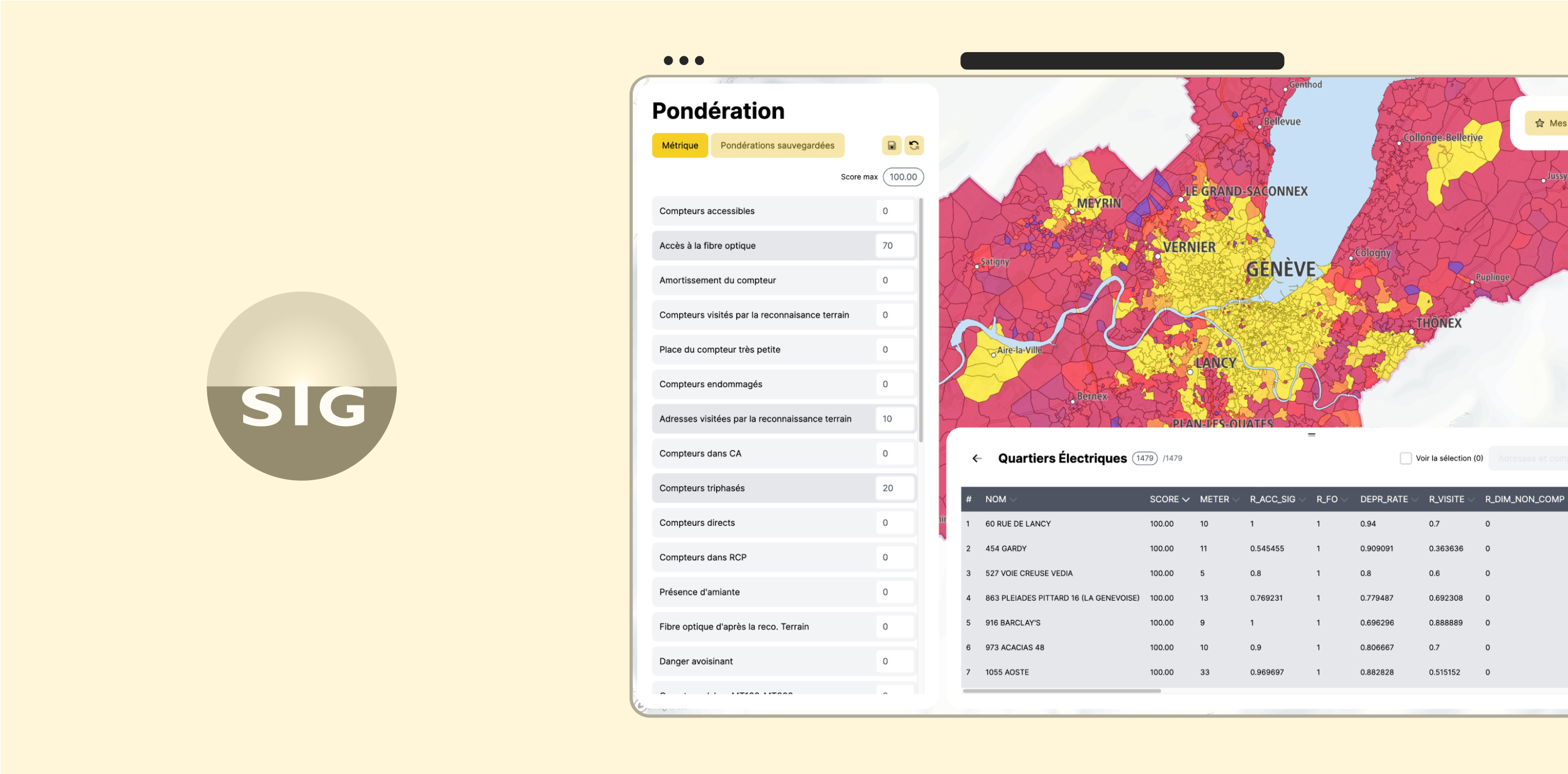
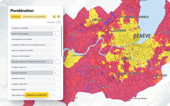
Transforming complex data to facilitate decision-making.
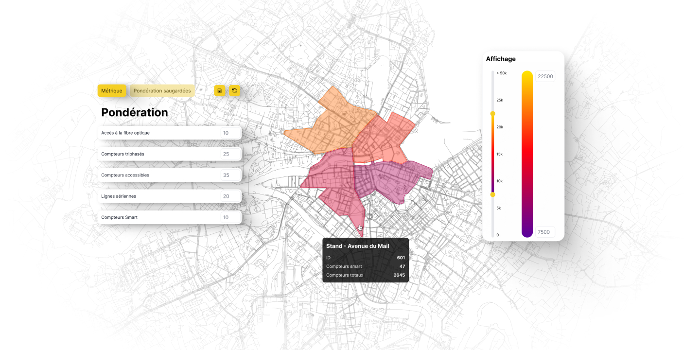
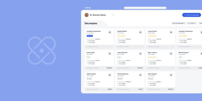
The geodecisional tool, designed for the Services Industriels de Genève, was created to make data management both simple and efficient. Thanks to an intuitive interface, teams can filter information according to specific criteria, offering a detailed and precise analysis of the meters to be deployed. Each weighting applied during planning can be saved.
But the real strength of this solution lies in the ability to save and export defined deployment strategies. Once plans are established, they are saved for future adjustments and can be easily exported to operational teams, thus facilitating fieldwork.
Together, we simplified complex data to make it actionable.
With the help of SIG's business experts, we envisioned tailor-made functionalities to meet user needs. Today, thanks to the geodecisional tool, the deployment of meters is managed with remarkable precision and simplicity. Most importantly, this allows every resident of the canton to quickly benefit from a smart meter at home, enabling more modern and sustainable energy management.
 Services Industriels de Genève
•
Published on the 8th January 2025
Services Industriels de Genève
•
Published on the 8th January 2025